


Randonnée – La transfrontalière
Office de Tourisme de Montgenèvre
Office de tourisme de Montgenèvre
Ideal for families
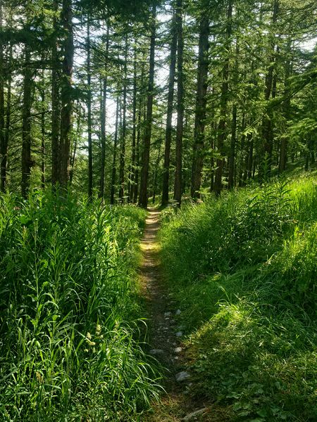
This pleasant walk through the woods will take you to the Italian village of Clavière.
This route is very suitable for a family walk as it is not particularly difficult and is generally shaded
You can admire many mountain flowers and enjoy the beautiful light through the trees.
Highest point: 1860 m
Route type: loop
Distance: 6 km
Duration: 2 h
Height gain: 200 m
Height loss: 200 m
ITINERARY
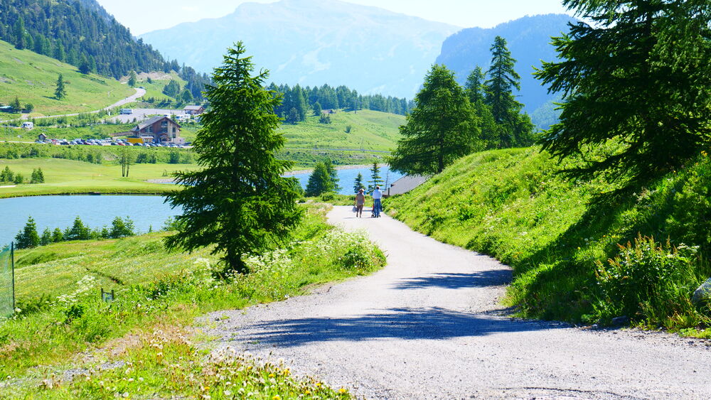
1. Then go to the bus station. Take the road from the back of the bus station towards the lakes area. Go straight on until you reach the end of the second lake (Lac du Peychier) where you turn right
2. At the next crossroads, turn left (direction Clavière) and cross the Doire (La Dora). Continue to follow the track in the direction of Clavière (be careful, you are going along the golf course, so do not pass the barriers for safety reasons)
3. At the next intersection, turn left towards Clavière and follow the path down to the village. Once there, turn left to cross a small wooden bridge. Turn right immediately, cross the large bridge and turn left. Walk along the children's playground and you will find the church of Clavière on your right
4. For the return journey, go to the main road in Clavière and drive up it towards Montgenèvre. At the exit of the village, cross the plexiglass gallery, then the road to go to the place called La Valetta and take the path that goes up towards Montgenèvre (le Collet). This leads you to the entrance of the Montgenèvre motorhome area. Cross the road to take the path back to the village.
From 01/06 to 31/10.
Languages spoken : english, french and italian
Rates
Free access.
Practical information
- Car park
- Charging stations for electric vehicles
- Picnic area
- Play area
- Public WC
Environments
- Close to a public transportation
- Bus stop < 500 m
- Near shuttle stop
- Station district
- Close to GR footpath
- Lake 5 km away
- Lake view
- Mountain location
- Mountain view
- Village centre

Randonnée – Le Rocher Diseur par le TéléCabine du Chalvet

Randonnée – Le belvédère du Bois de Sestrières

Randonnée – Le Lac Gignoux par le Télémix des Chalmettes et le Télésiège des Gondrans
