


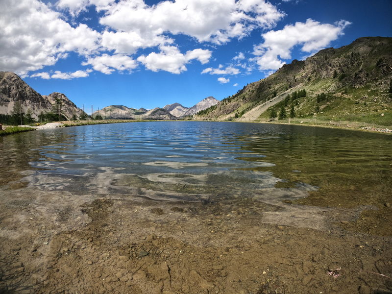
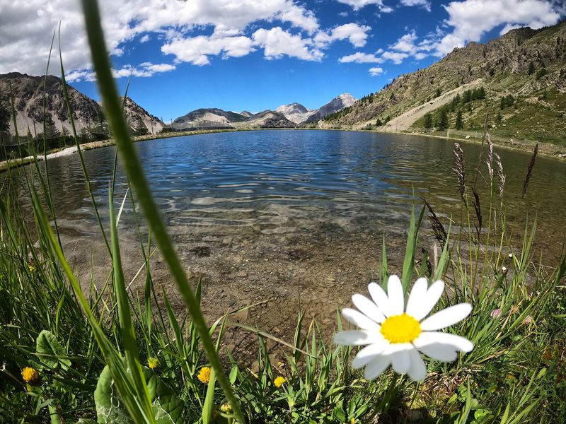
Randonnée – Le Lac des Anges
Office de Tourisme de Montgenèvre
Office de Tourisme de Montgenèvre

Office de Tourisme de Montgenèvre
Office de Tourisme de Montgenèvre
First through undergrowth, you join a forest track to reach the Gondrans meadows and Lac des Anges. The return journey follows a pleasant path along the banks of the Durance.
From 01/05 to 30/11.
Languages spoken : english, french and italian
Rates
Free access.
Practical information
- Car park
- Public WC
Environments
- Close to a public transportation
- Bus stop < 500 m
- Near shuttle stop
- Station district
- Close to GR footpath
- Lake 5 km away
- Lake view
- Mountain location
- Mountain view
- Panoramic view
Data updated on
Take a look here

Montgenèvre
Randonnée – La transfrontalière
Ideal for families
This pleasant walk through the woods will take you to the Italian village of Clavière.

Montgenèvre
Randonnée – Le belvédère du Bois de Sestrières
Ideal hike for families
This nice little family hike will take you through a larch forest on a wide and gentle route to a viewpoint over Briançon and its forts.

Montgenèvre
Randonnée – Le lac des Anges par le Télémix des Chalmettes
From the top of the Chalmettes telemix, you will descend quietly to the Anges lake before reaching the banks of the Durance.

Montgenèvre
Randonnée – Le Lac Gignoux par le Télémix des Chalmettes et le Télésiège des Gondrans
This itinerary is a little long, but you’ll have easy access to the Lac d’altitude Gignoux. The lifts take the strain out of the climb, and all you have to do is follow a generally flat balcony trail through the mountain pastures.