


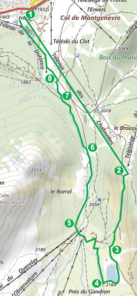
Randonnée – Le lac des Anges par le Télémix des Chalmettes
Office de Tourisme de Montgenèvre
Office de Tourisme de Montgenèvre
Office de Tourisme de Montgenèvre
office de tourisme de Montgenèvre
Office de Tourisme de Montgenèvre
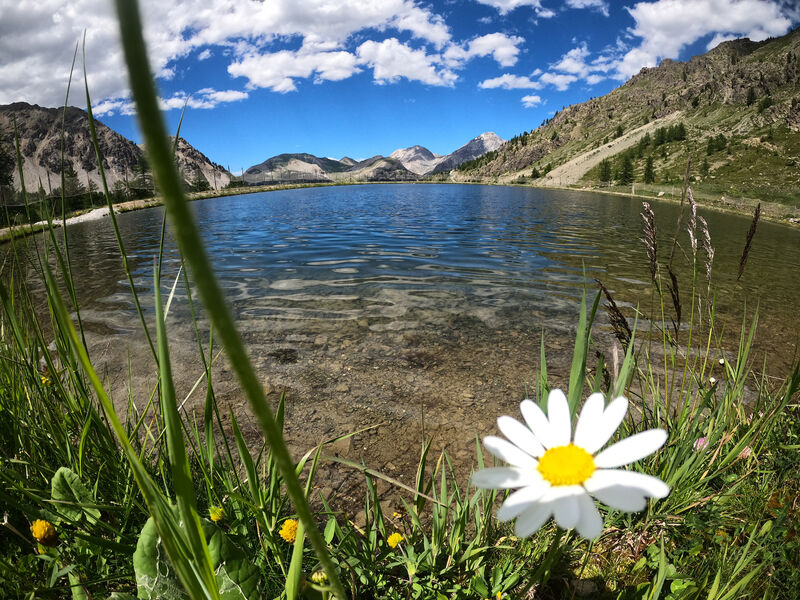
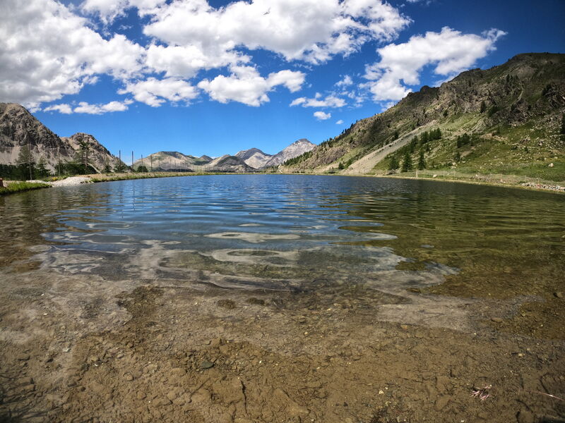
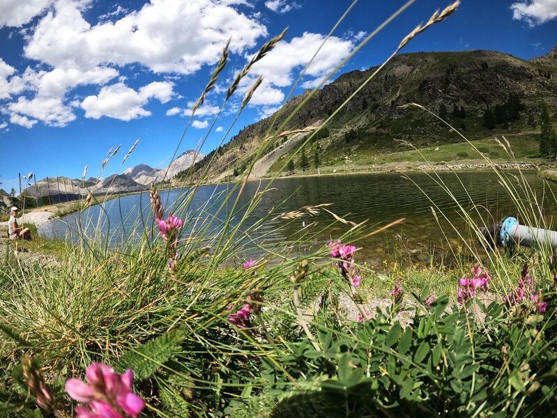
From the top of the Chalmettes telemix, you will descend quietly to the Anges lake before reaching the banks of the Durance.
From the lake you can enjoy a beautiful view of Mont Chaberton and learn about the rocks around you thanks to the geological panels at the entrance to the lake.
Highest point: 2200 m (Top of the Chalmettes telemix)
Type of route: loop
Distance: 4 km
Duration: 1h 20 (+ 10 min TMX)
Ascent +: 40 m
Ascent -: 420 m
ITINERARY
1. Take the Chalmettes telemix
2. On arrival, turn right and follow the track down to the Gondrans plain.
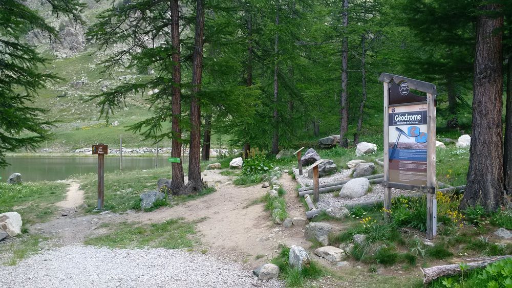
3. At the first junction, turn left towards the chalet and lake and climb the small slope to reach the lake. Walk halfway around it to the geodrome
4. From the geodrome, turn right onto a path that leads down towards Montgenèvre. At the crossroads turn left to reach the Gondrans chairlift
5. Pass the chairlift and take the La Durance mountain bike trail down to your right. The track is wide, but stay well to the edge of the track to avoid any accident with a cyclist. A path goes off to the right and crosses the Durance stream which is still just a stream, so don't take it. Go straight on.
6. You will cross the Durance without realising it (it goes underground). At the next crossroads, leave the mountain bike track and turn left onto the path (towards the Durance bridge). Go along the Durance river
7. You reach a track, turn right and walk up the track to the nets (staying on the edges as you share the track with mountain bikers).
8. At the nets, turn left through the special pedestrian crossing to find yourself on the other side of the nets. Follow the path on your left which descends quietly to the Durance bridge (do not enter the golf course which is on your right). From the bridge, walk back down to the Chalmettes car park.
From 08/07 to 31/08 between 9.30 am and 4.30 pm.
Languages spoken : english, french and italian
Rates
Adult: 9 €
Child: 9 €.
The itinerary is free but access to the lifts is not free.
Payment methods
- Bank/credit card
- Cash
- Check
Practical information
- Car park
- Picnic area
- Public WC
Environments
- Close to a public transportation
- Bus stop < 500 m
- Near shuttle stop
- Station district
- Close to GR footpath
- Forest location
- Lake 5 km away
- Lake view
- Mountain location
- Mountain view
- Panoramic view

Randonnée – Le Lac Gignoux par le Télémix des Chalmettes et le Télésiège des Gondrans

Randonnée – Le Rocher Diseur par le TéléCabine du Chalvet

Randonnée – Le sentier géologique du Chenaillet par le Télémix des Chalmettes et le Télésiège des Gondrans
