


Randonnée – Le Rocher Diseur par le TéléCabine du Chalvet
Office de Tourisme de Montgenèvre
Office de Tourisme de Montgenèvre
Office de Tourisme de Montgenèvre
Office de Tourisme de Montgenèvre
Office de Tourisme de Montgenèvre
An ideal hike for families
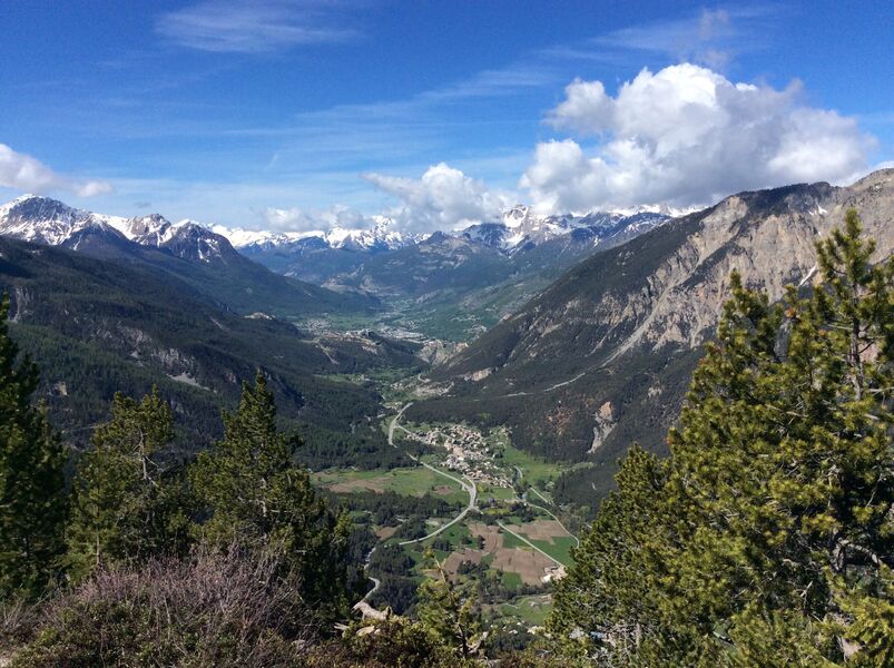
A downhill hike from the top of the Chalvet cable car to a magnificent viewpoint over the Clarée valley.
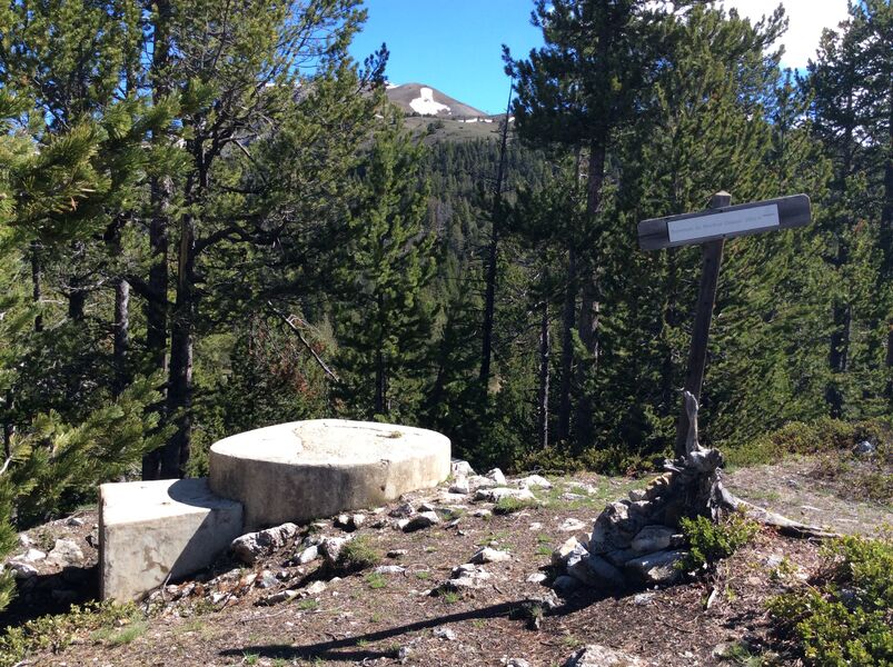
Don't miss the military pill at the top of the Rocher diseur, a witness to the Second World War.
Highest point: 2135 m (Arrival of the Chalvet gondola)
Type of route: loop
Distance: 5 km
Duration: 1 h 30 (+ 10 min ascent in the gondola)
Up: 85 m
Down: 370 m
ITINERARY
1. Take the Chalvet cable car (behind the Tourist Office)
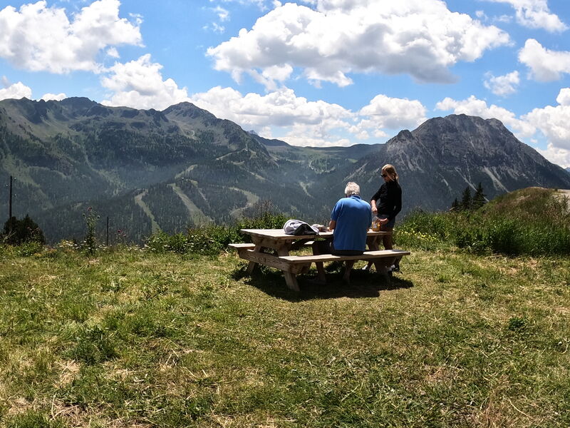
2. On arrival, turn left towards the Terrasses restaurant
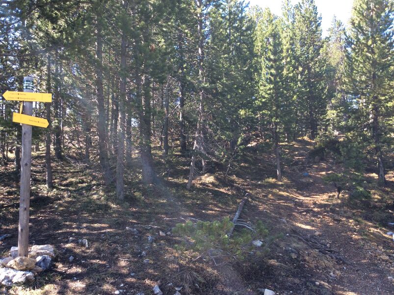
3. Continue straight ahead on the track towards Rocher diseur.
4. At Sous le rocher diseur, go straight up the rocky spur towards Rocher diseur. At the top, you can admire a large part of the Clarée valley and in the distance Briançon and its forts. On your right, you will find a military pill
5. Go back the way you came, first under the "rocher diseur", then straight ahead on the track until you come to a crossroads with a path going down on your right, heading back to Montgenèvre.
6. Take the path, which takes you back to the heights of the village. Go down the rue de la Combe. Turn left onto Rue du Rocher de Dix Heures, then left again onto Rue du Praya. At the bottom of Rue du Praya, turn left into Rue de l'Eglise to return to the Tourist Office.
From 04/07 to 31/08.
Languages spoken : english, french and italian
Rates
Adult: 9 €
Child: 9 €.
The itinerary is free but access to the lifts is not free.
Payment methods
- Bank/credit card
- Cash
- Check
Practical information
- Car park
- Picnic area
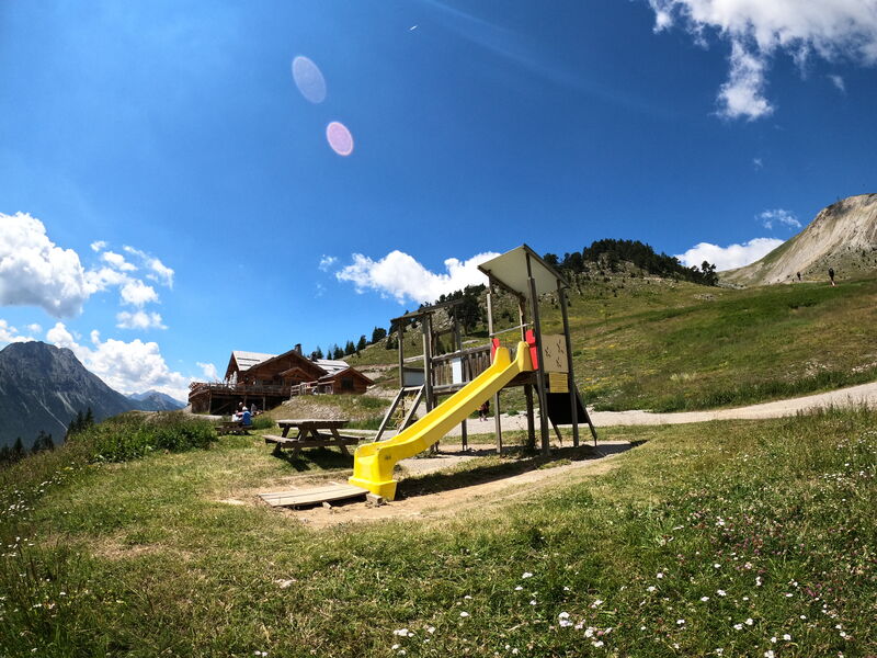
- Play area
- Public WC
Environments
- Close to a public transportation
- Bus stop < 500 m
- Near shuttle stop
- Station district
- Close to GR footpath
- Lake 5 km away
- Lake view
- Mountain location
- Mountain view
- Panoramic view

Les Terrasses

Randonnée – La transfrontalière

Randonnée – Le belvédère du Bois de Sestrières
