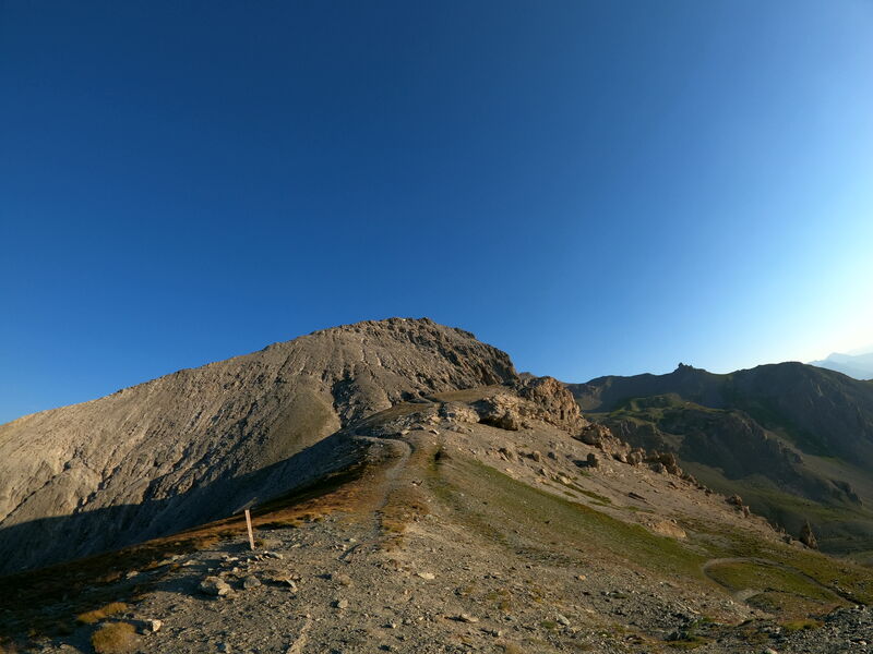


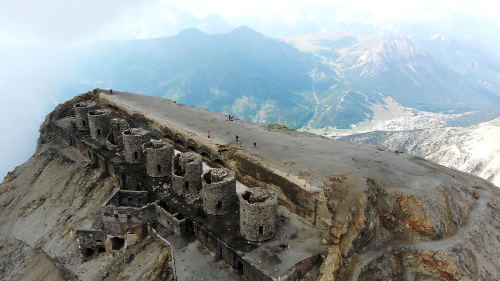
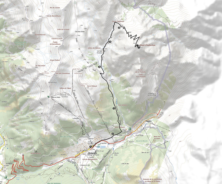
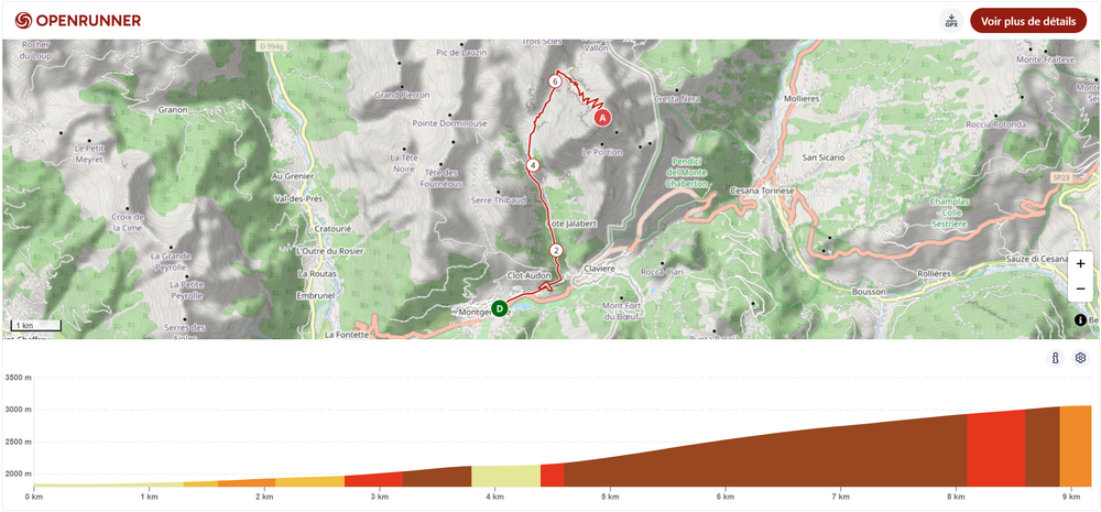
Randonnée – Le Mont Chaberton
office de tourisme de montgenevre
office de tourisme de montgenevre
Office de Tourisme de Montgenèvre
Office de Tourisme de Montgenèvre
Languages spoken : english, french and italian
Rates
Free access.
Documents
Practical information
Barbecue
Car park
Picnic area
Public WC
Environments
- Close to a public transportation
- Bus stop < 500 m
- Near shuttle stop
- Station district
- Close to GR footpath
- Lake -5km away
- Lake view
- Mountain location
- Mountain view
- Panoramic view
Data updated on
Take a look here

Montgenèvre